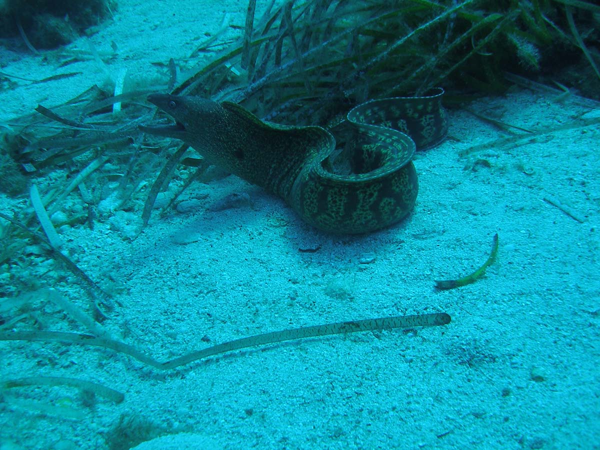
The area of San Vito lo Capo
San Vito Lo Capo is a small town located along the northwest coast of Sicily (Italy) and is one of the most famous tourist destinations on the island.
Thanks to its ideal geographical position and the conformation of its bay, which offers protection from strong winds, the area of San Vito lo Capo (Trapani)has played a fundamental role as a landing place and later as a trade and a production center. Several terrestrial and underwater archaeological finds have proven human presence in the area since prehistorical age. The peninsula was an important area for the maritime trade routes that linked the Mediterranean countries in the ancient world, as it created a connection between the eastern and western markets. Its relevance was increased by the intensification of trade along the Rome - Carthage axis.
Several land surveys carried out in the 1980s allowed for the identification of a number of earthenware basins in the vicinity of the Tonnara del Secco, belonging to a garum factory. Together with other materials, these basins have allowed for the dating of human activity at the site from the fourth century B.C. until the Arab conquest.
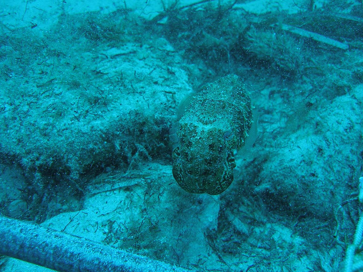
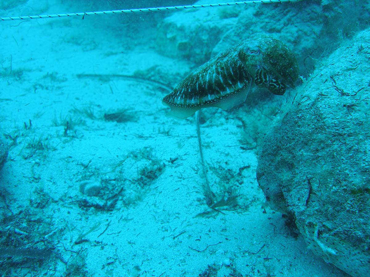
Meanwhile, the presence of a shoal and sudden changes of wind represented a serious hazard to navigation, as evidenced by many documented ship remains dating to both ancient and modern times. Given the high archaeological potential of the site, the area has been intensively investigated since 1991, leading again to the discovery of shipwrecks and materials dating from the fourth century BC up to the sixteenth century AD.
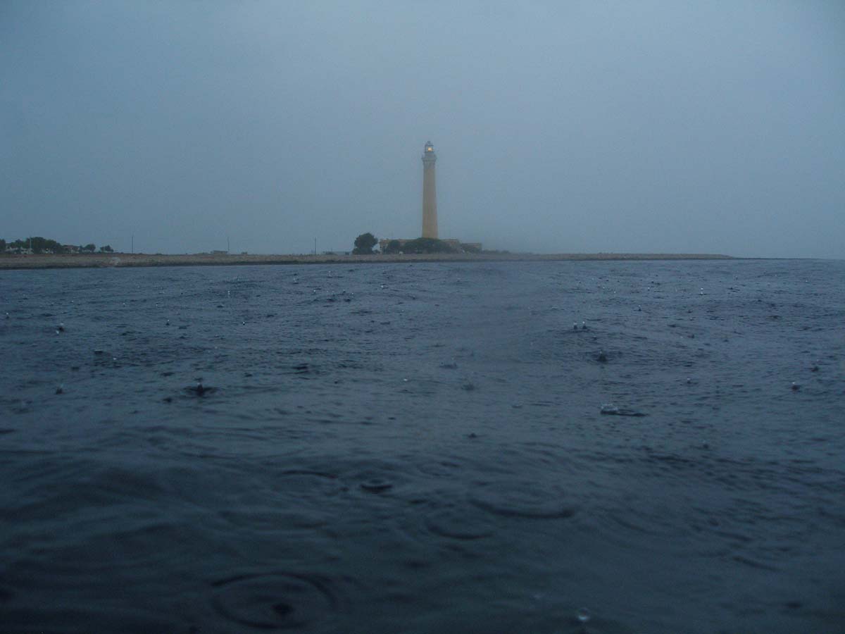
Research campaigns conducted between 1991 and 2001 led to the discovery and systematic study of the so-called 'Relitto del Faro' (Lighthouse's wreck), a twelfth century AD shipwreck that carried small-sized amphorae, other larger containers probably used to transport solid foods, and a number of ceramic artefacts that were likely utilized for everyday life on-board. As a result of reports or accidental discoveries, other sites of interest that have presented chronologically heterogeneous material have been identified in subsequent years, furthering evidence of the importance of the gulf as a landing place and shelter.
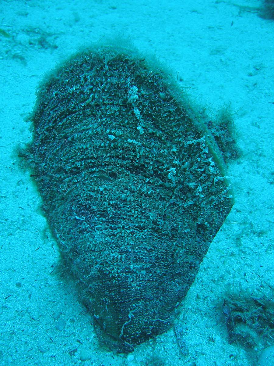
Among the most significant of these discoveries was the identification of the so-called ‘Sito delle Macine’ (Millstones' site), so named for the presence of a large concentration of navette-shaped millstones, possibly originating from a shipwreck. The area is characterized by the presence of numerous wooden remains of ships, as well as metallic and ceramic fragments covering an extensive chronological span.

page translated by Marta Paccani marta.paccani@gmail.com