The International Fields School of Underwater Archaeology - San Vito 2015
The 2015 season of the San Vito lo Capo International Field School of Underwater Archaeology will be taking place from the 31th of August till the 21th of September.
The school is part of the San Vito lo Capo Underwater Project, which is currently working on the mapping of the archaeological material deposited on the seabed of San Vito’s bay. A number of sites and shipwrecks dating to Roman, late antique, and medieval periods have been identified in the area in the last few years.
All school activities take place under the supervision of professional archaeologists, and the course is especially aimed at students and graduates in archaeology, architecture, marine biology, and geology. However, specialists or amateurs interested in participating in order to increase their work experience and knowledge of underwater archaeological sites are also welcome.
The course provides the "Archaeology Diver" certification, issued under the training standards of NASE Worldwide (National Academy Scuba Educators).
COURSE PROGRAM
LECTURES
The course will include daily lectures aimed at offering an overview of the complex field of maritime archaeology and of the methodological background used in both excavation and research.
Examples of the topics covered in the lectures will include:
- underwater archaeological contexts
- typology of underwater finds
- formation of shipwrecks
- underwater orienting and search methods
- foundations in the working principles of GPS systems
- underwater survey methods
- underwater excavation methods
- underwater materials and their identification.
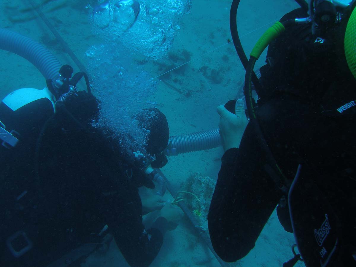
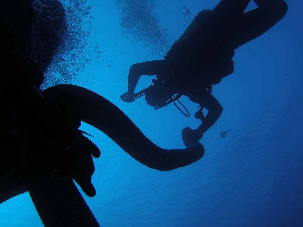
TRAINING DIVES
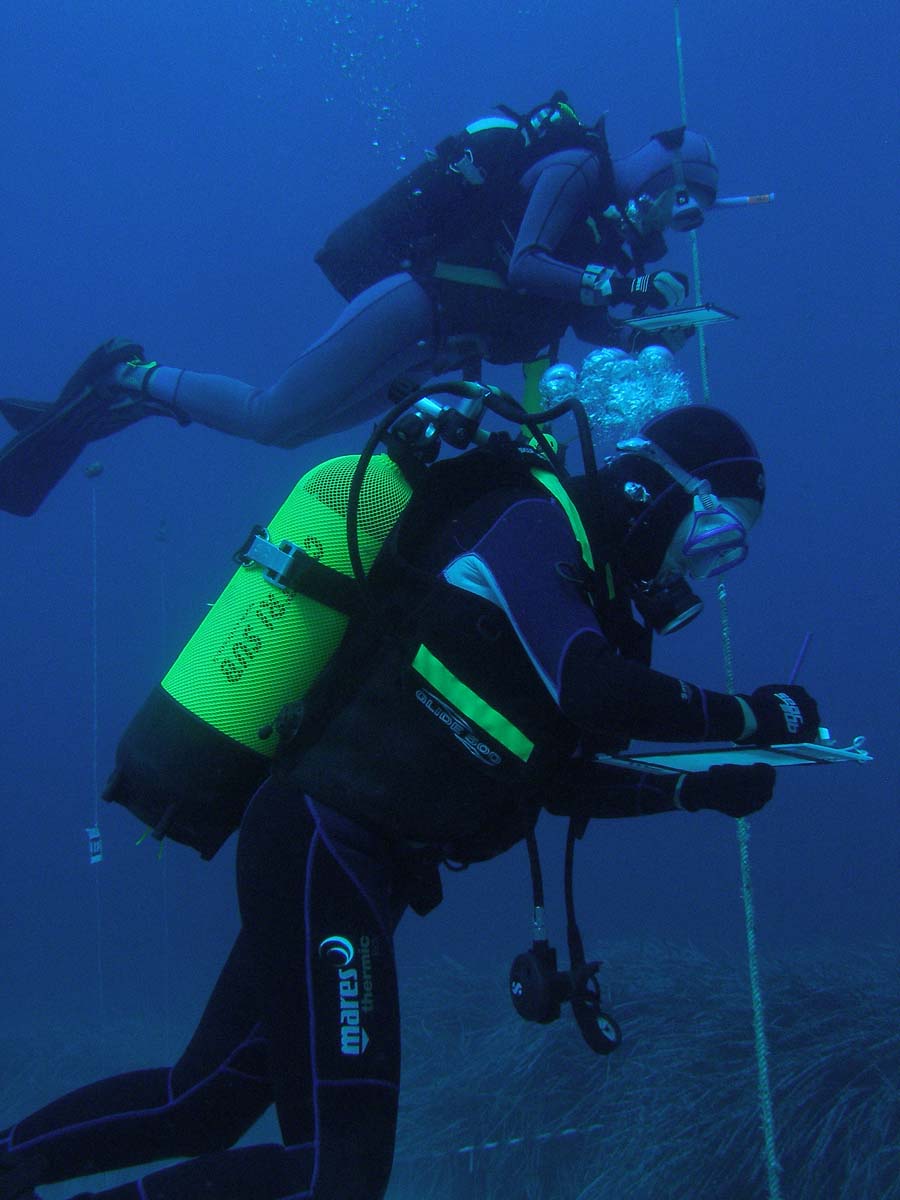
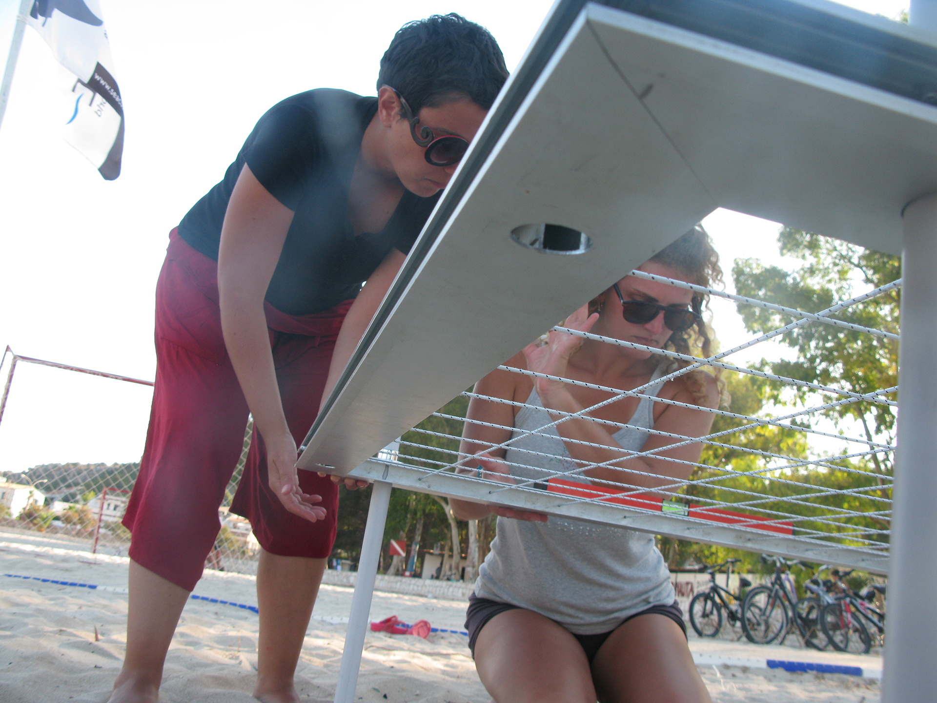
The training dives are intended to provide the participants with the necessary prerequisites for underwater research activities. During these sessions the students will participate in exercises aimed at improving their general aquatic readiness and they will learn a number of techniques essential to underwater archaeological work and survey. These will include how to maintain correct buoyance when operating on underwater archaeological sites and how to orient and calculate distances during underwater work.
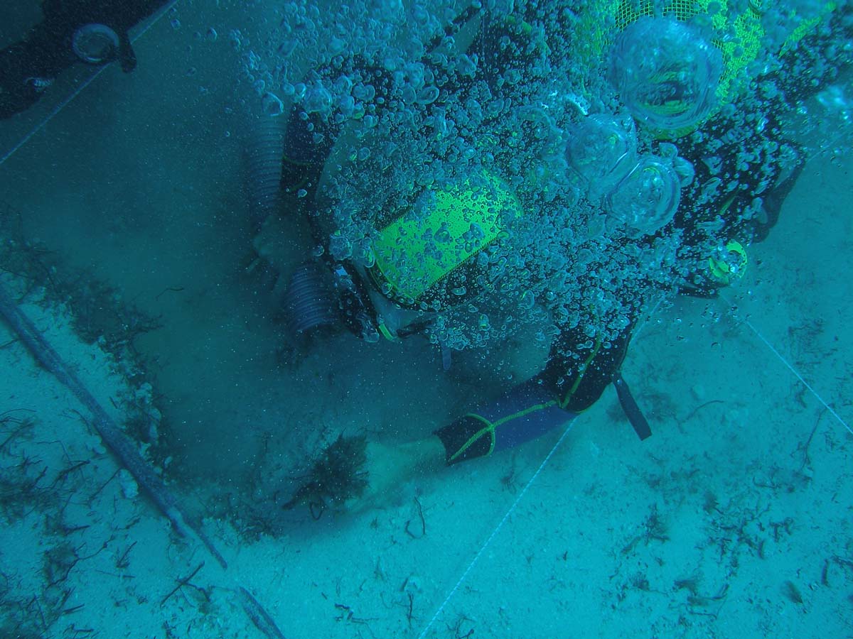
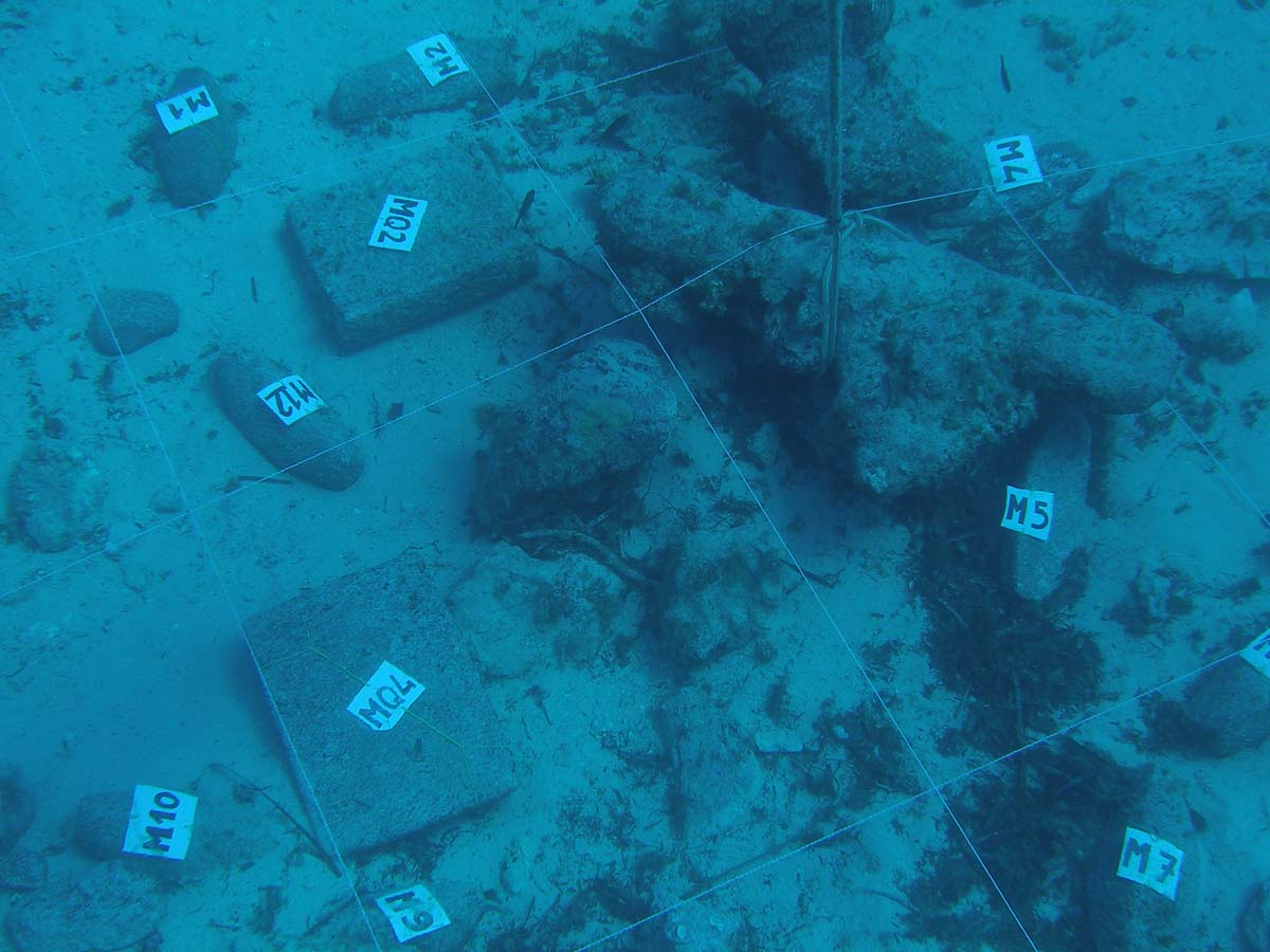
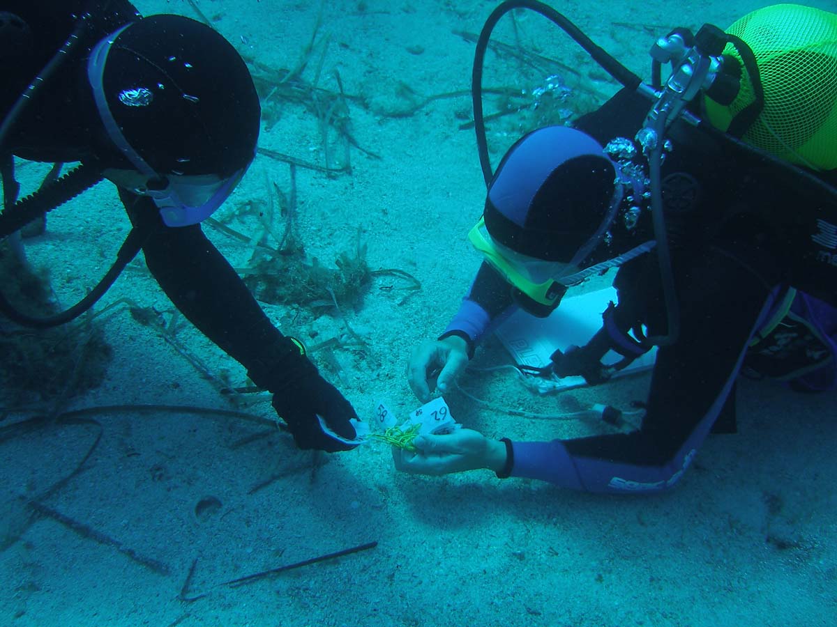
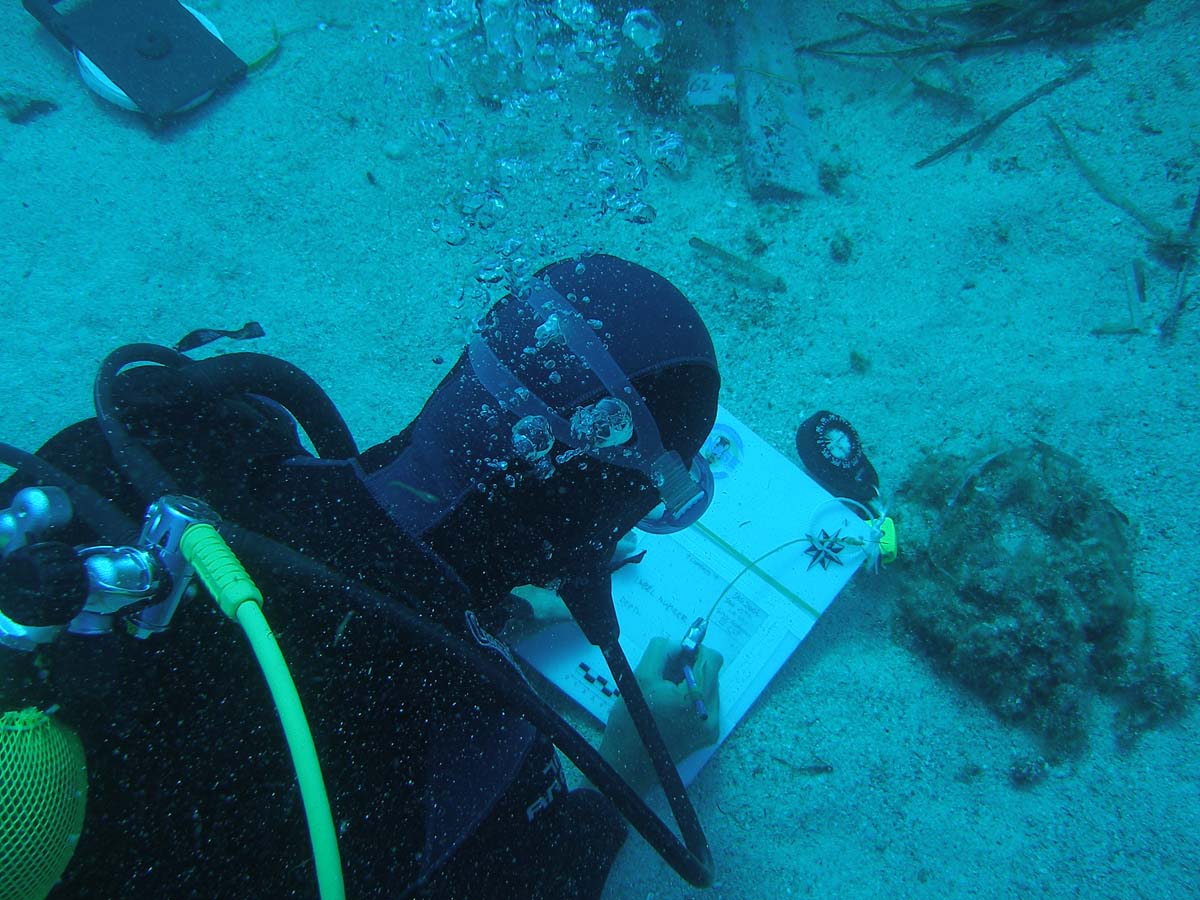
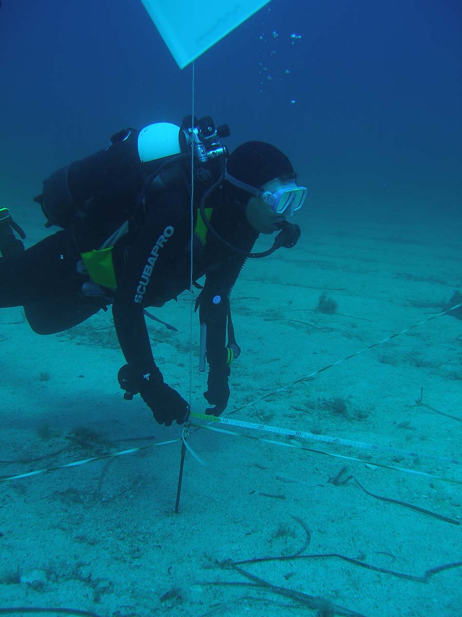
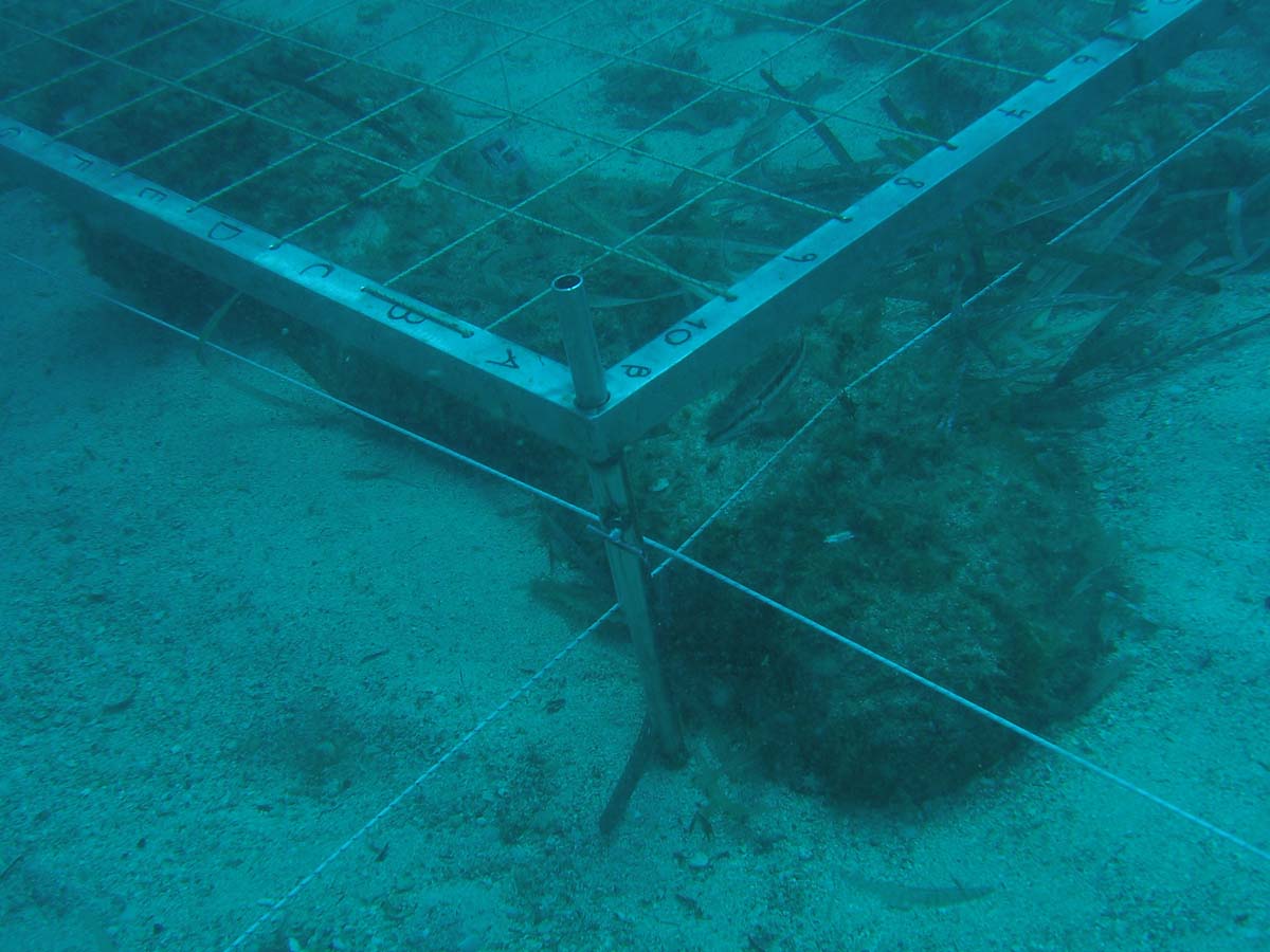
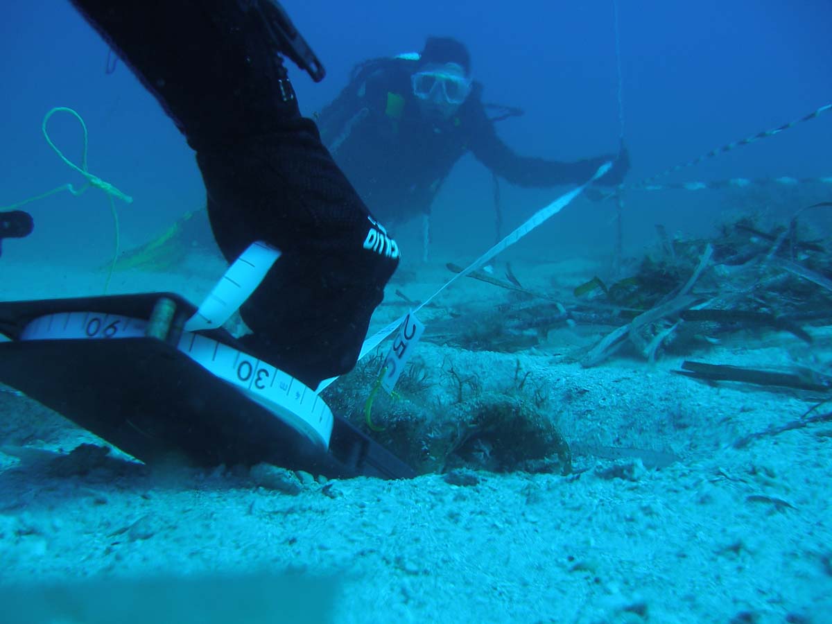
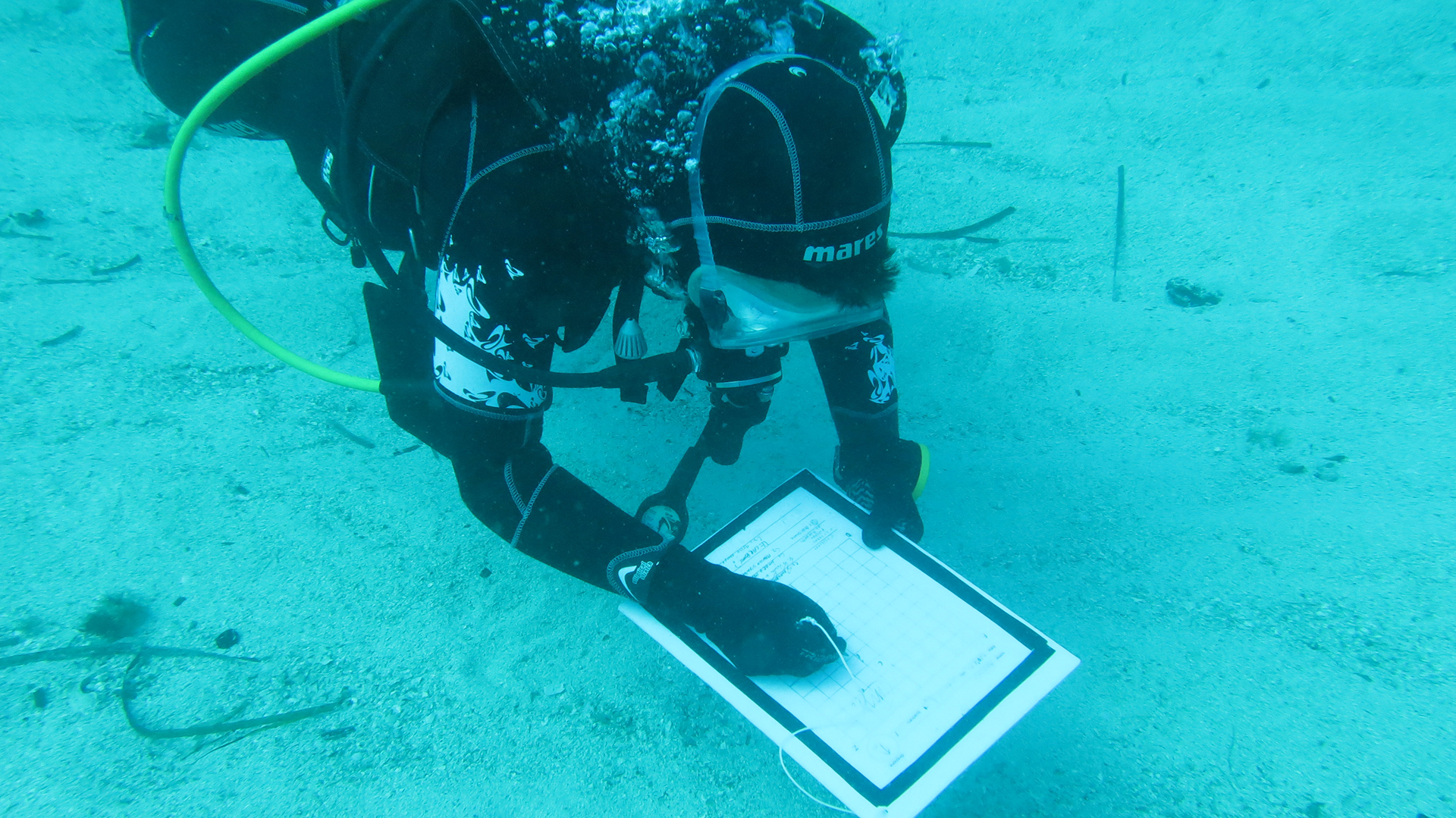
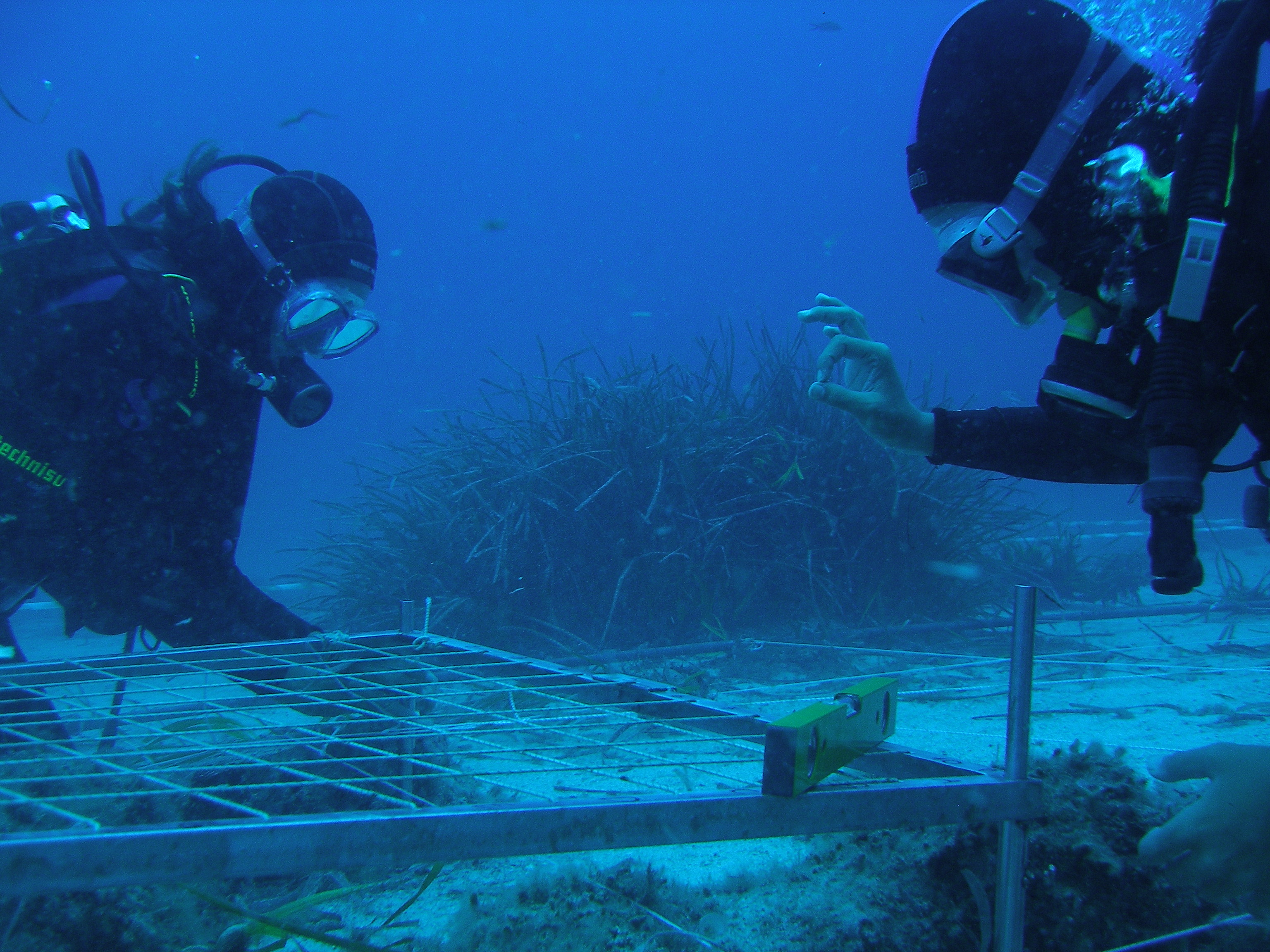
Training sessions of measurement, drawing, and documentation of the finds, both by traditional methods and modern technologies, will also be carried out in situ.
All the exercises will follow an earlier simulation on land, in order to allow for greater security and better performance during the underwater activities.
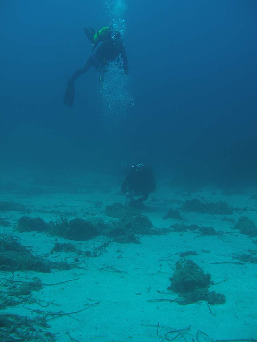
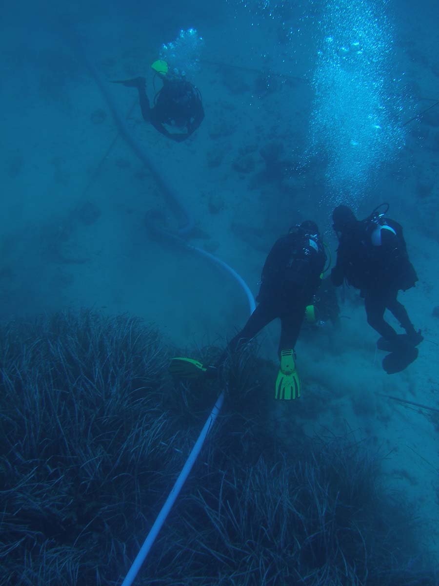
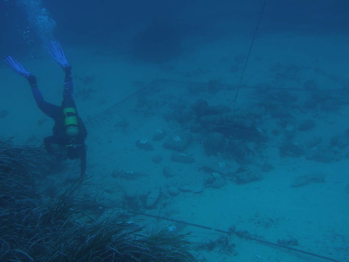
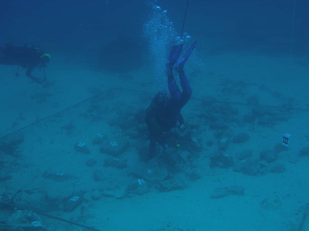
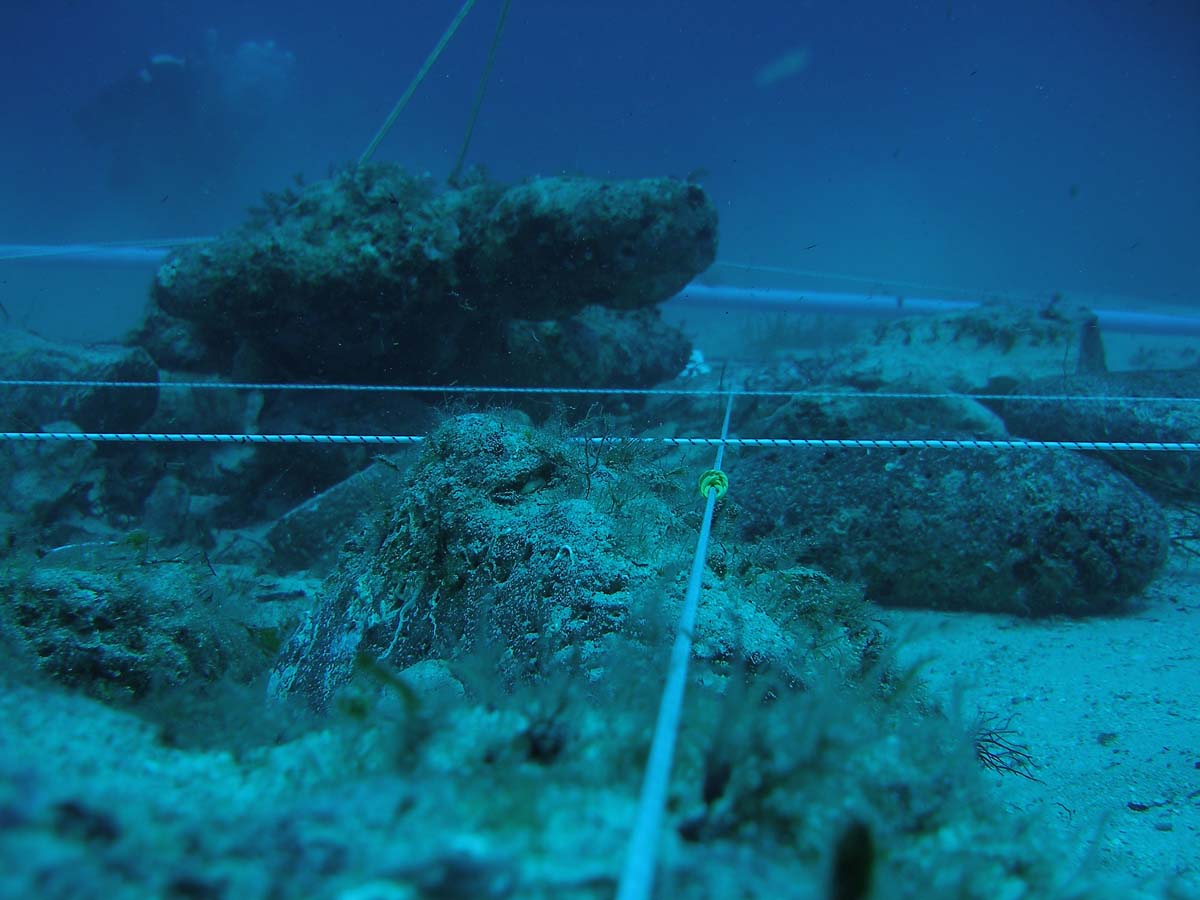
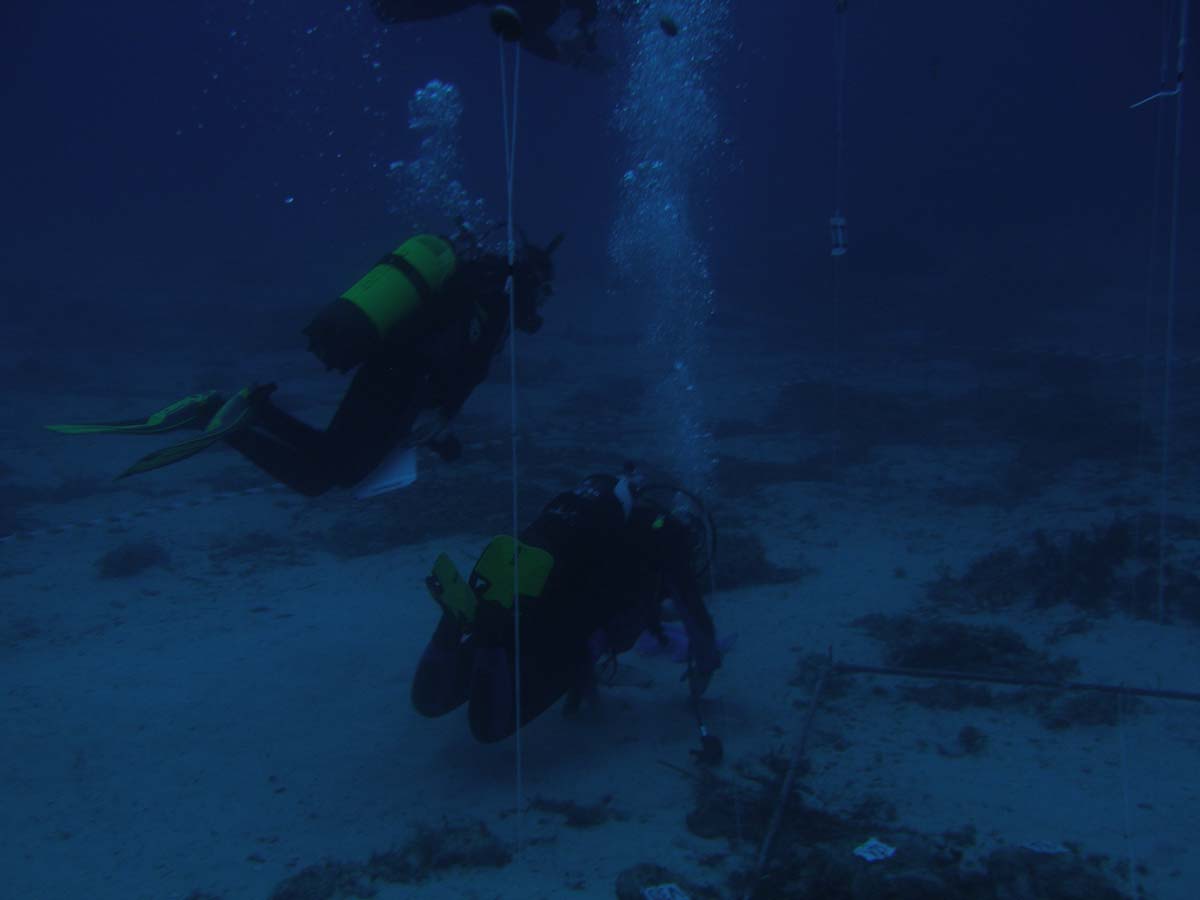
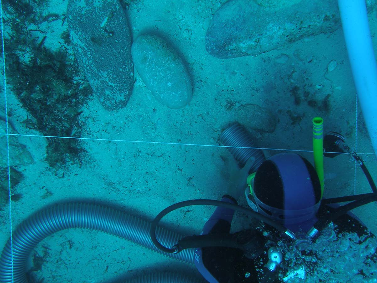
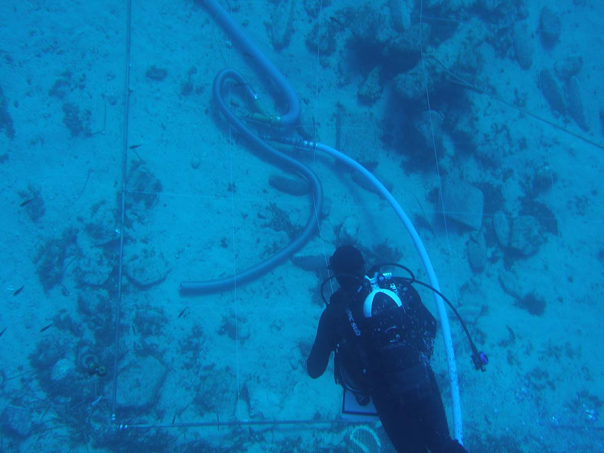
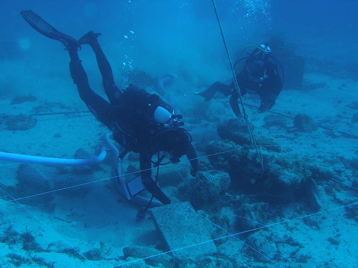
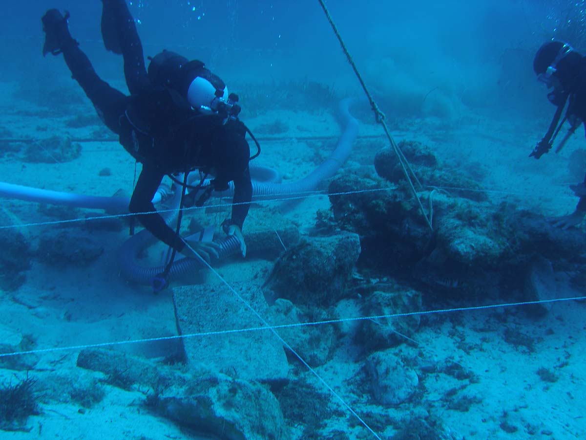
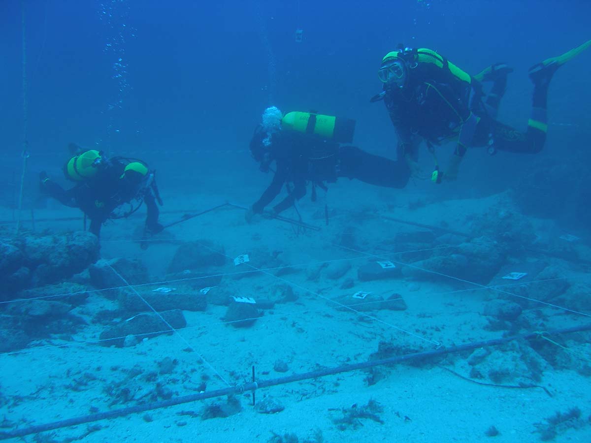
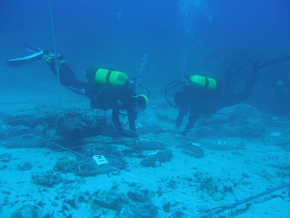
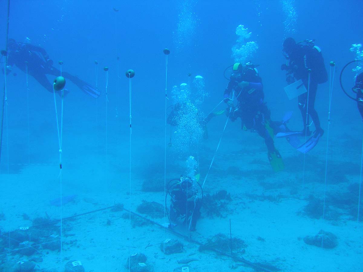
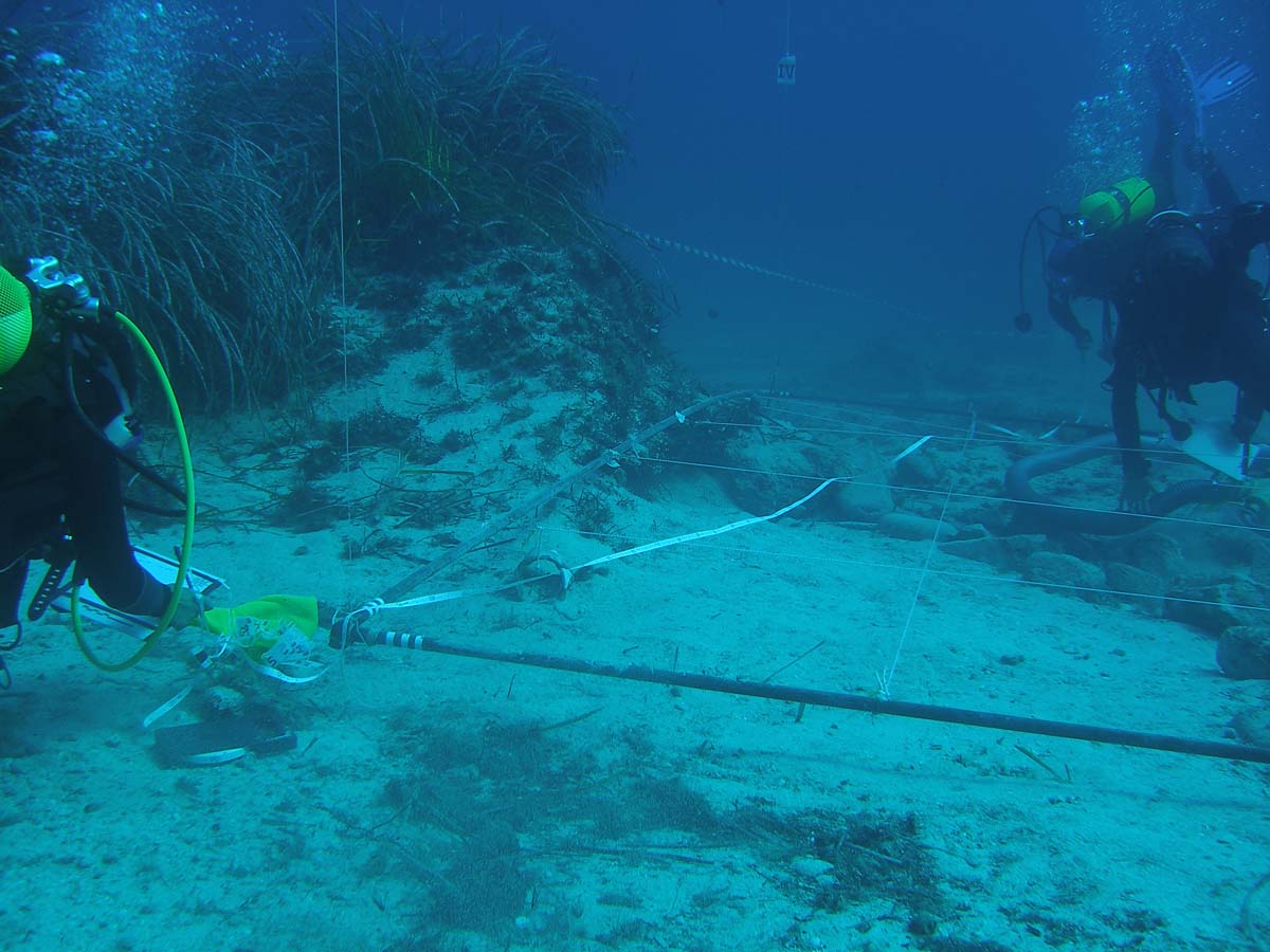
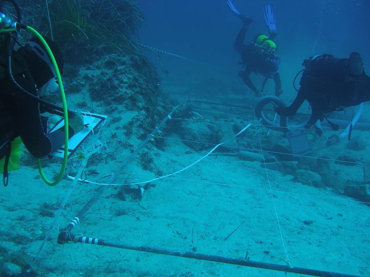
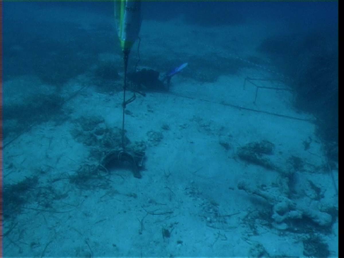
FIELDWORK DIVES
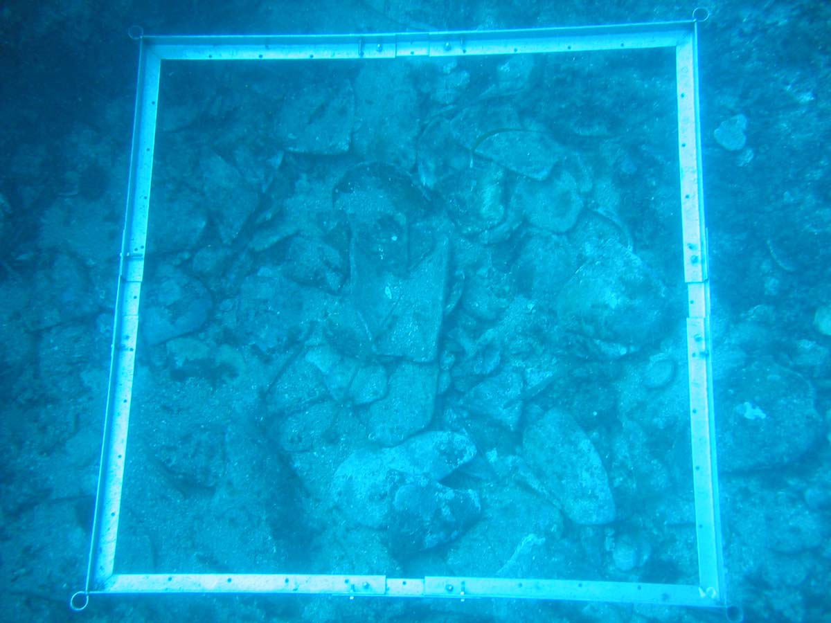
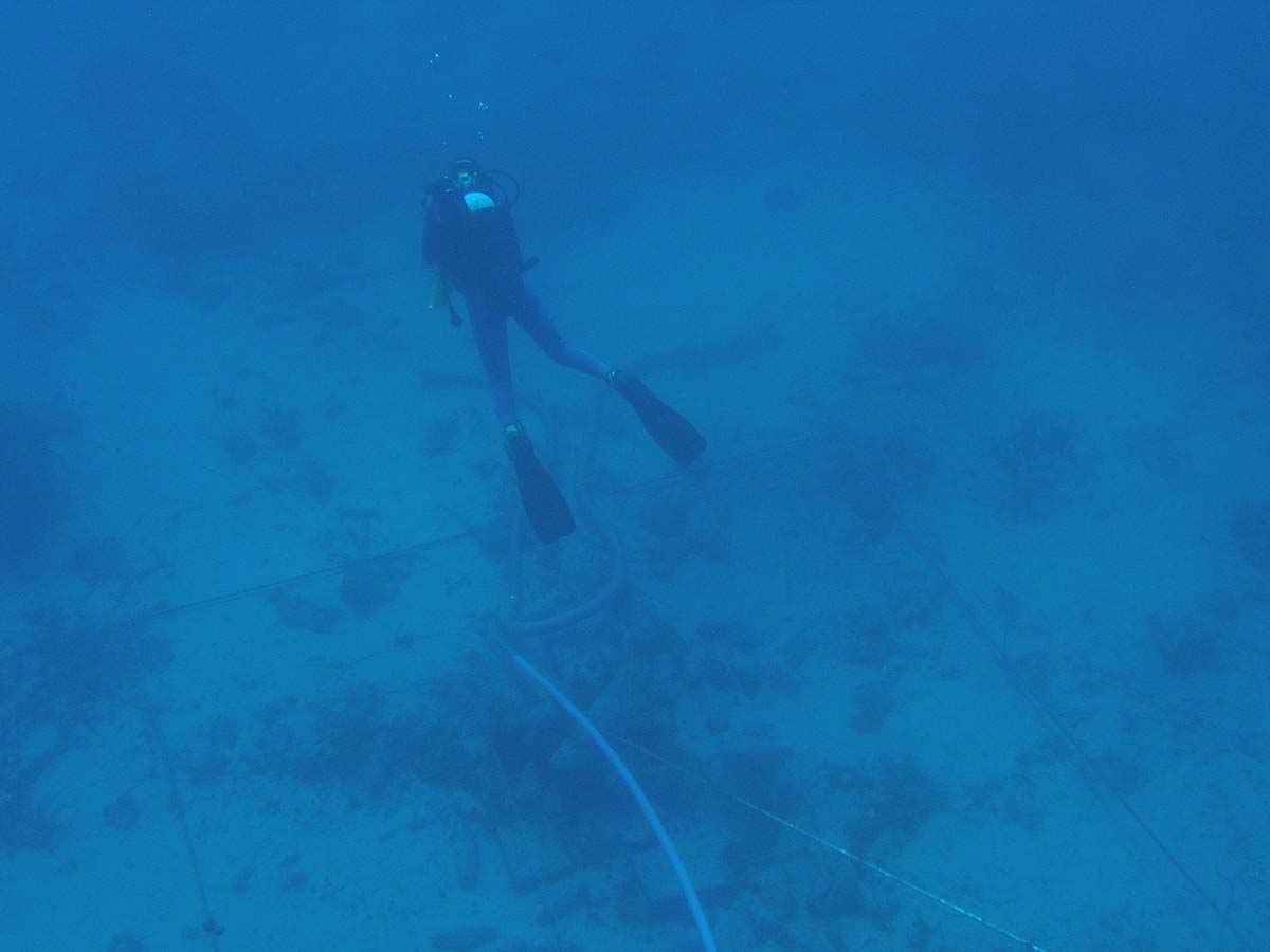
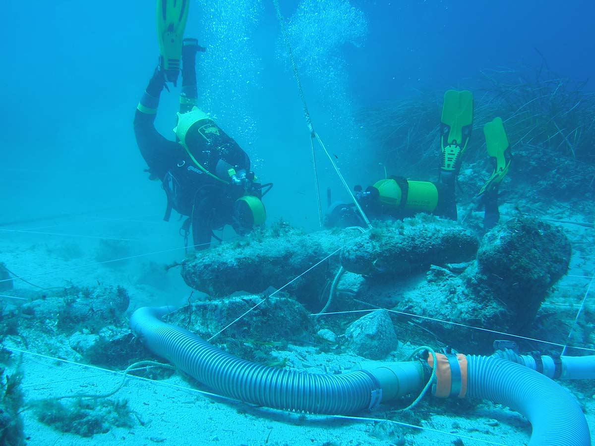
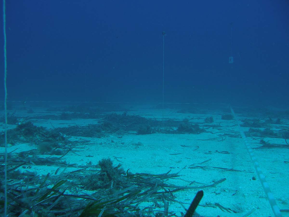
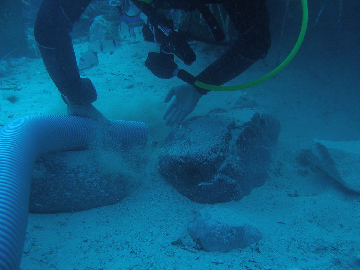
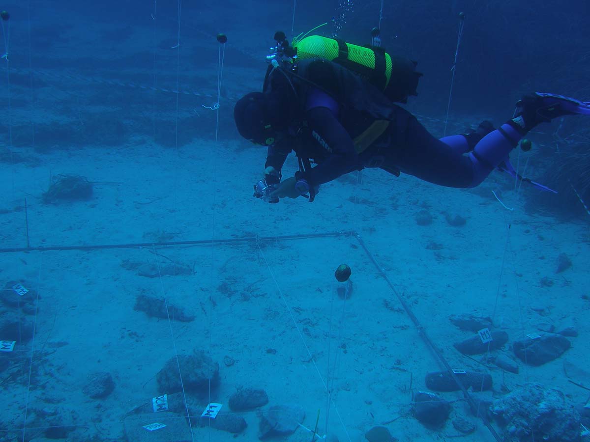
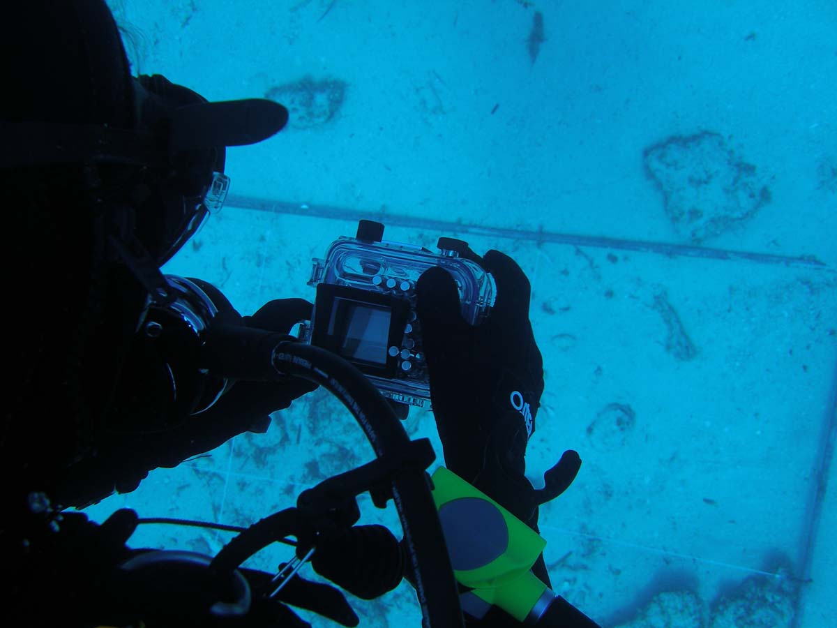
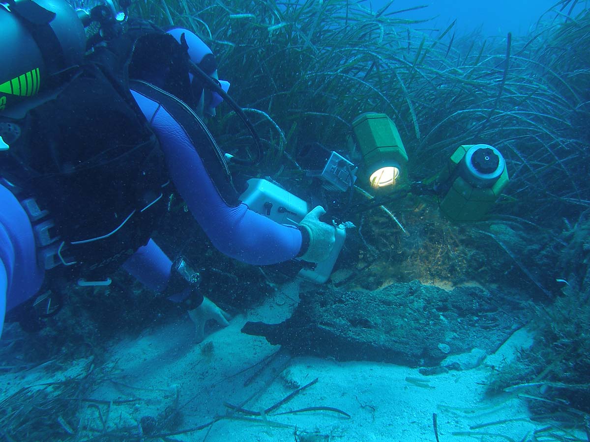
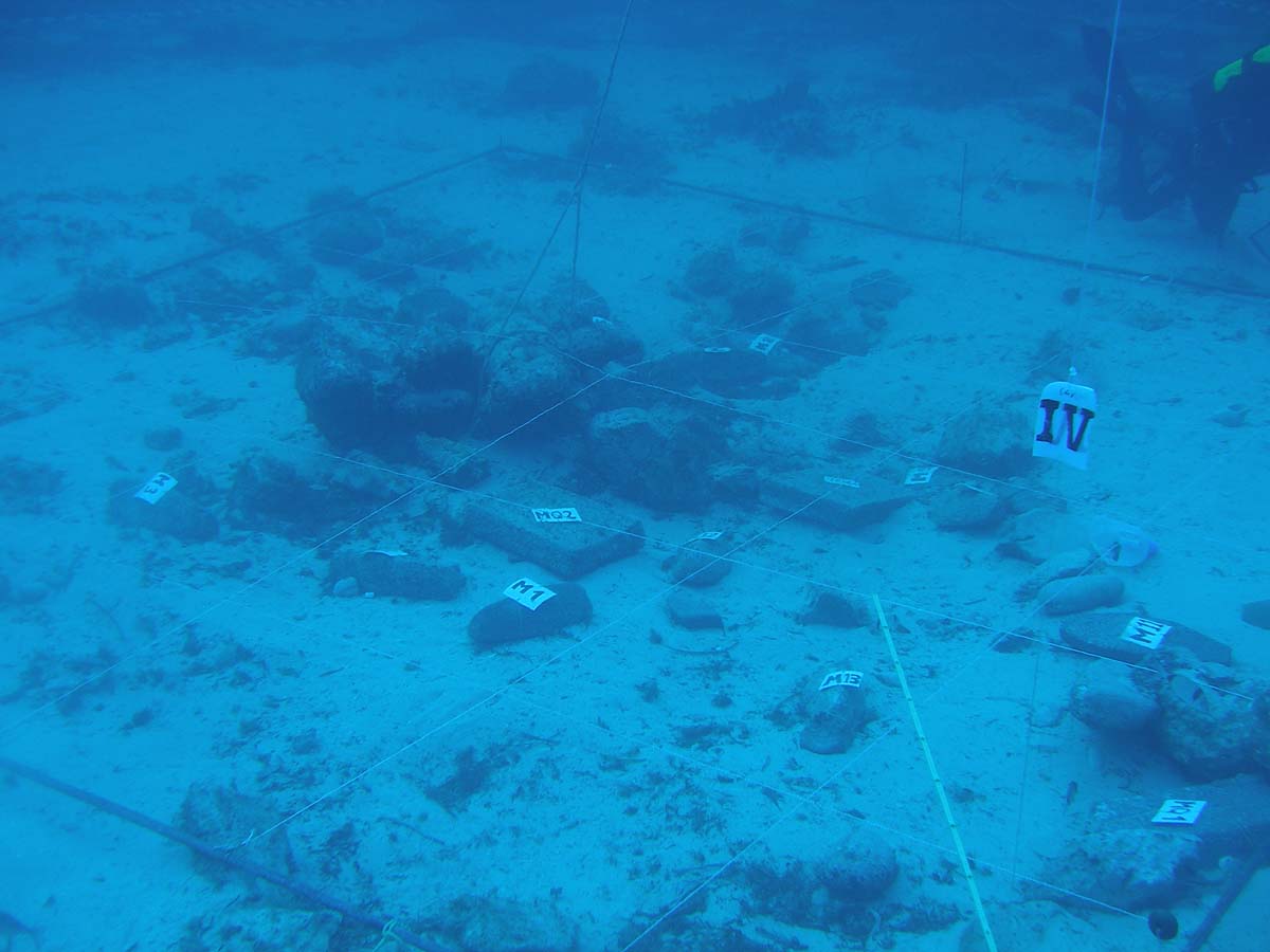
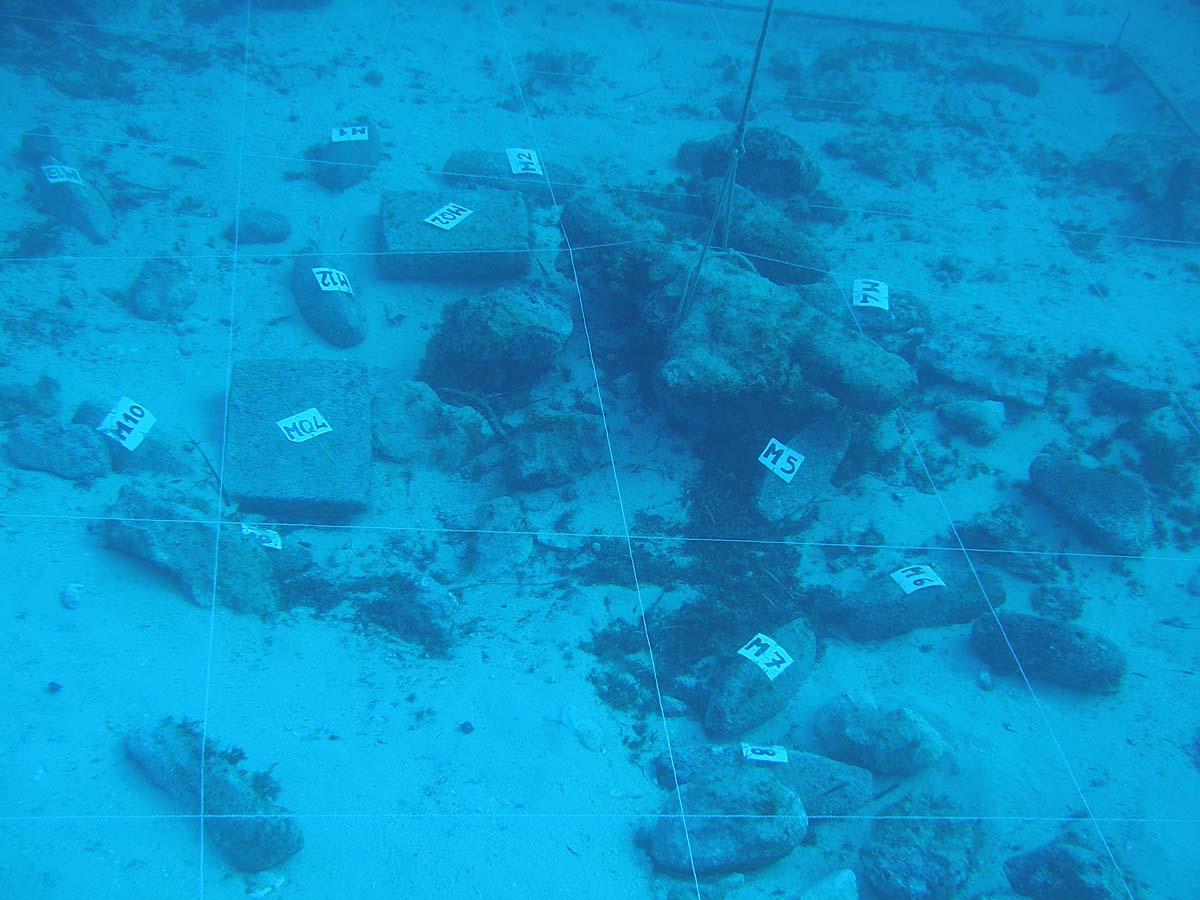
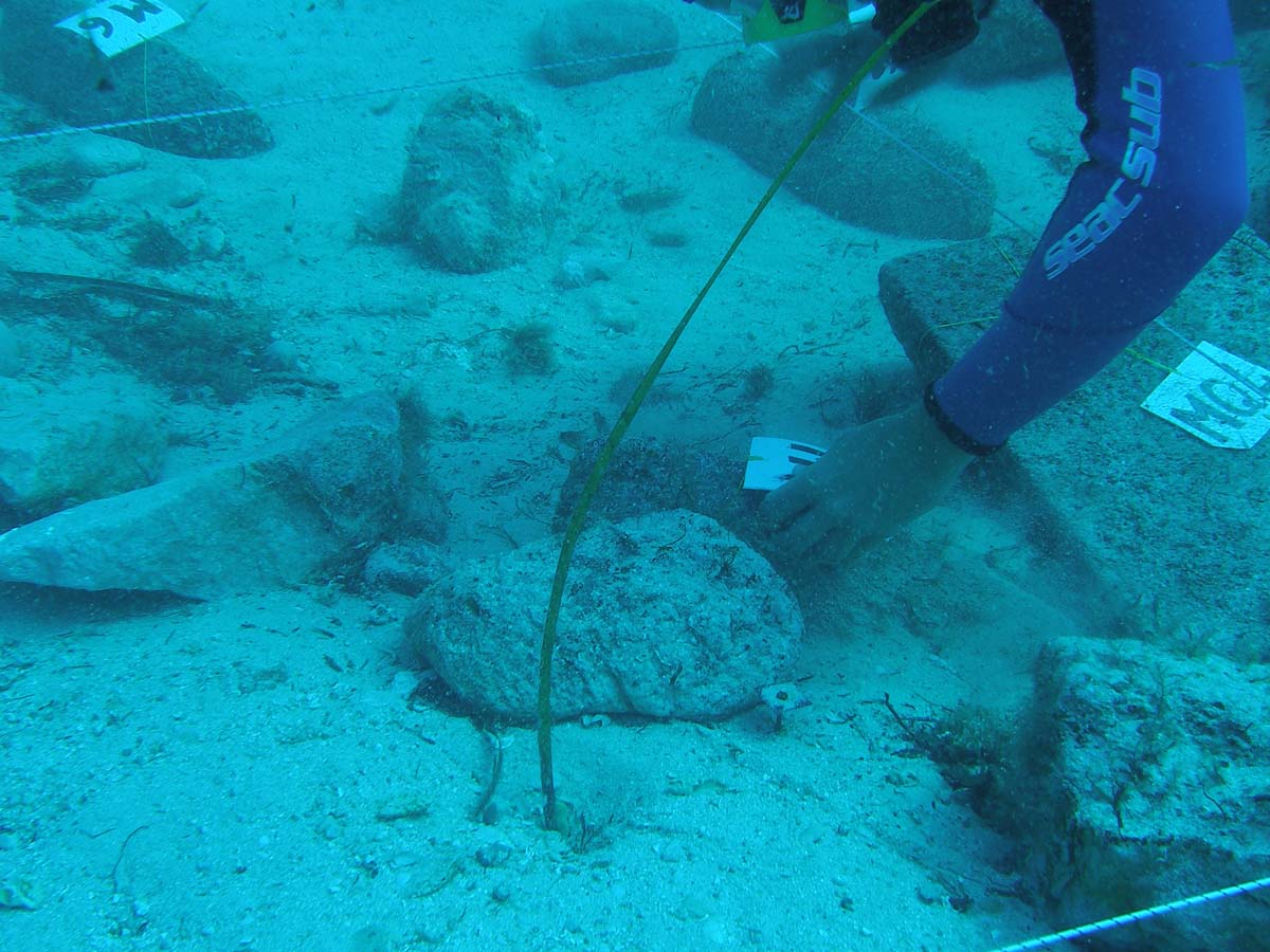
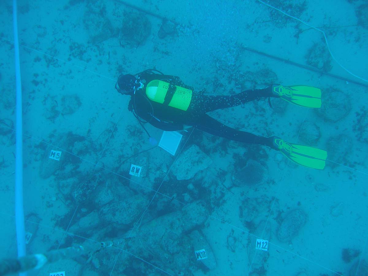
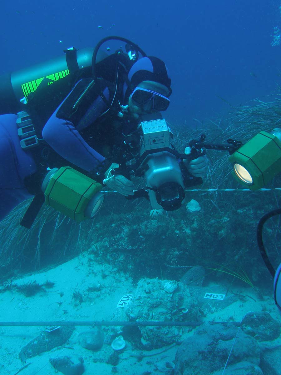
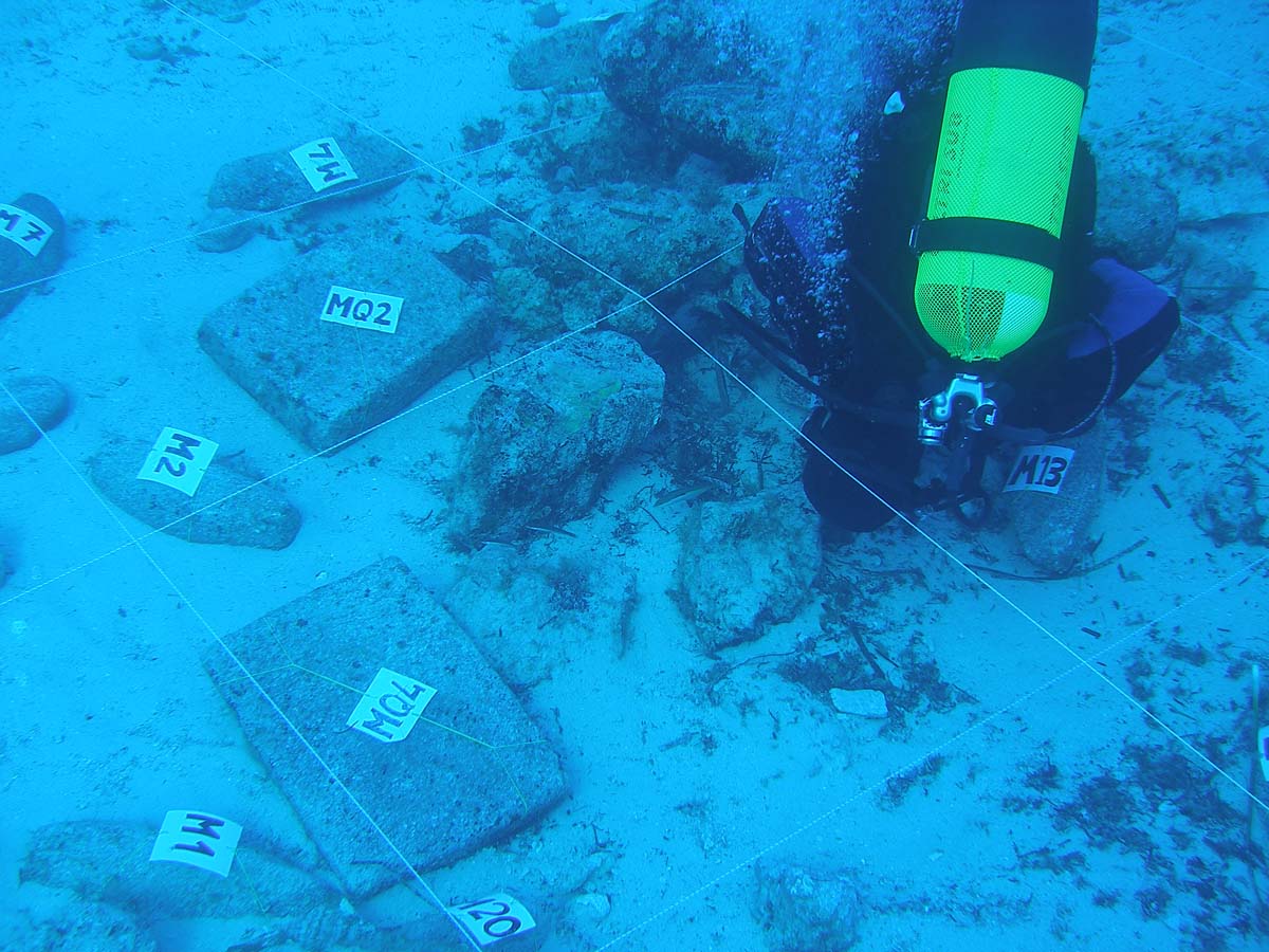
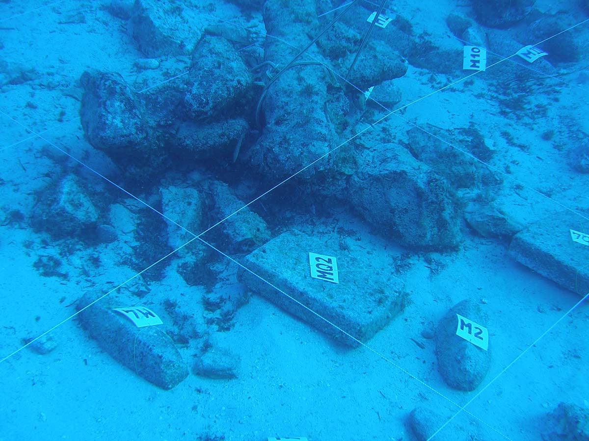
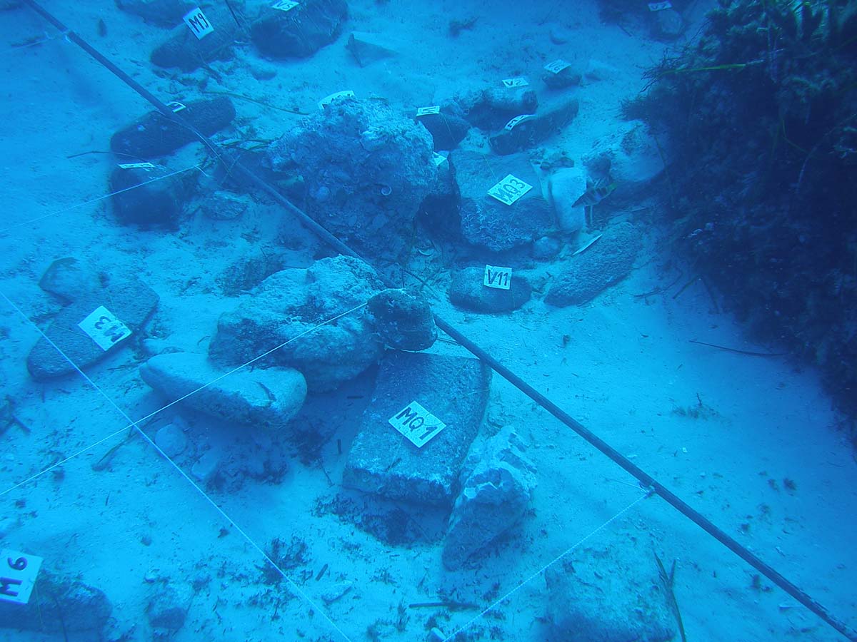
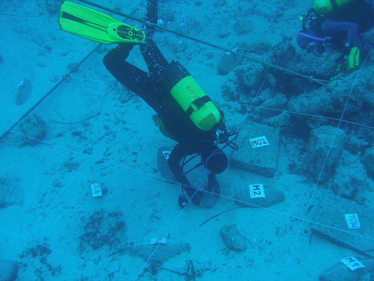
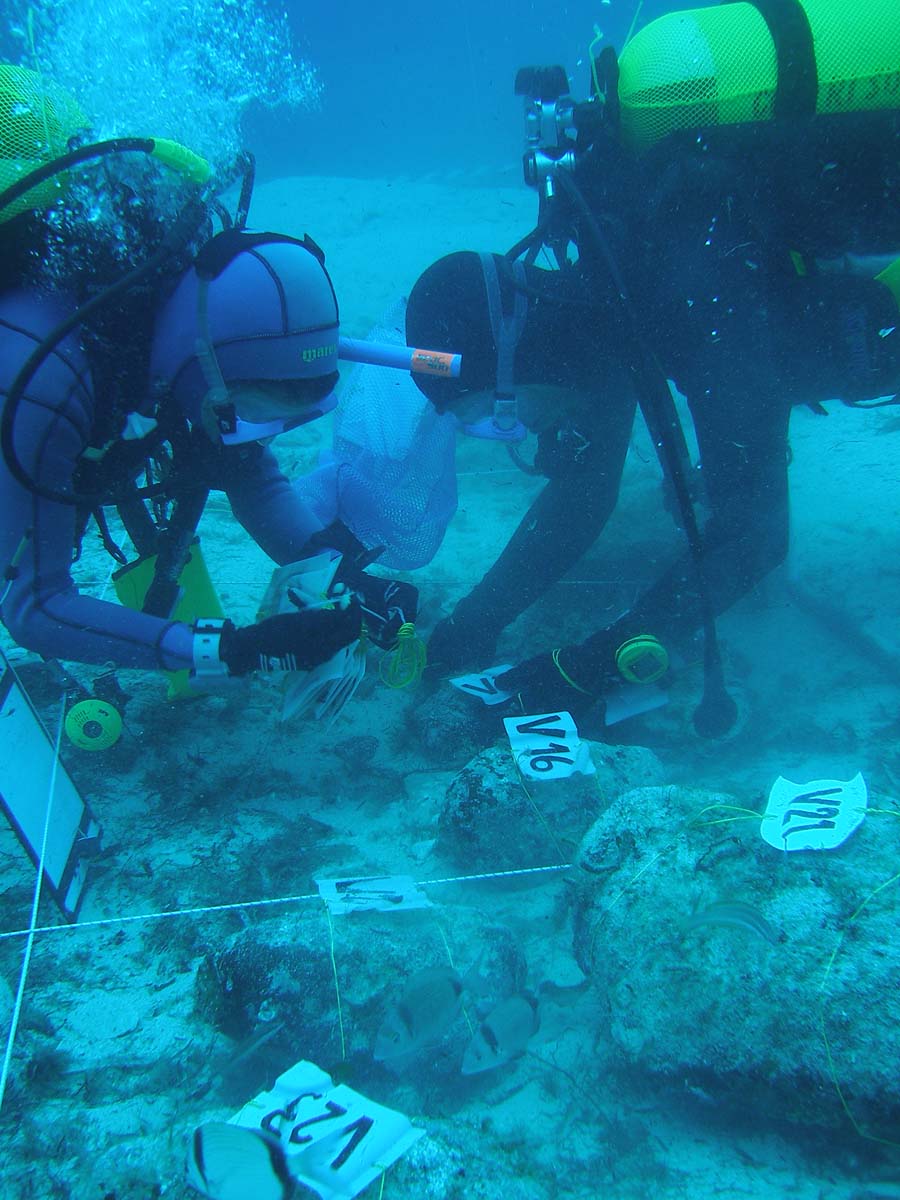
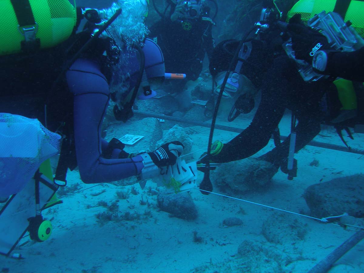
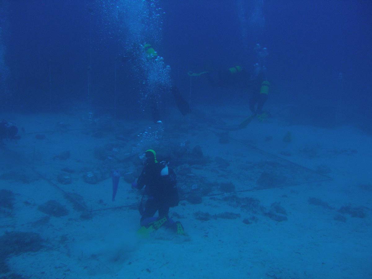
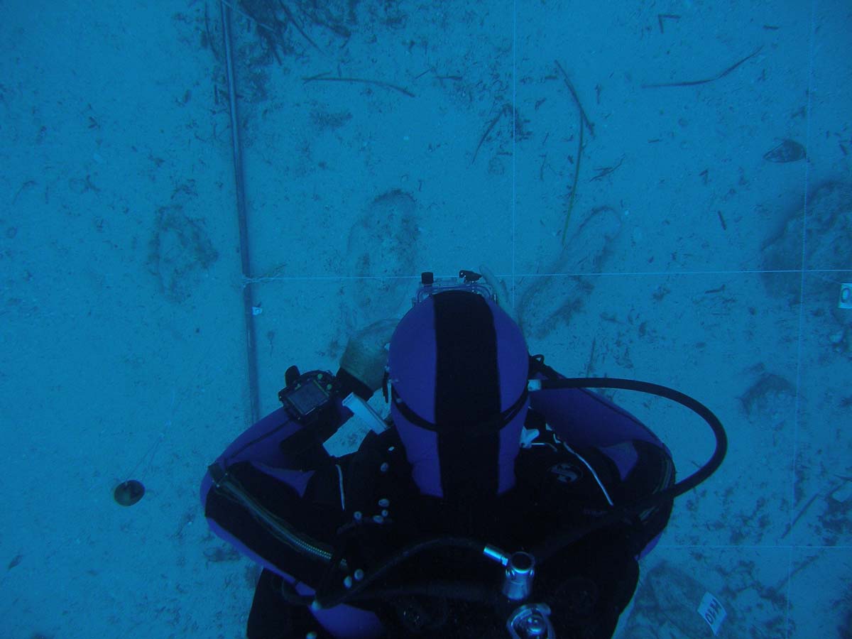
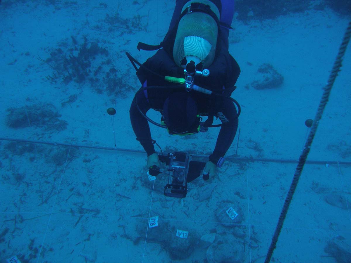
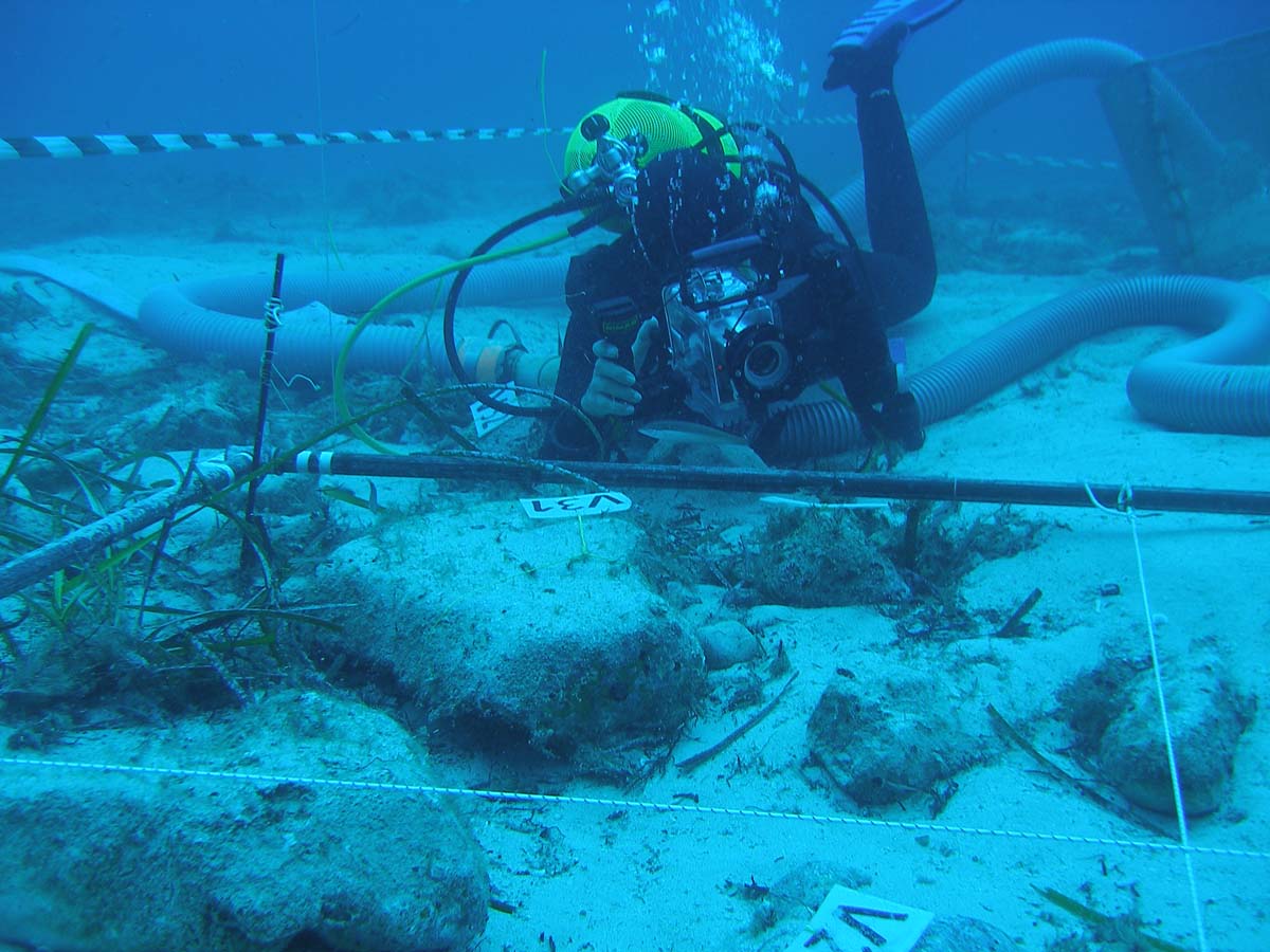
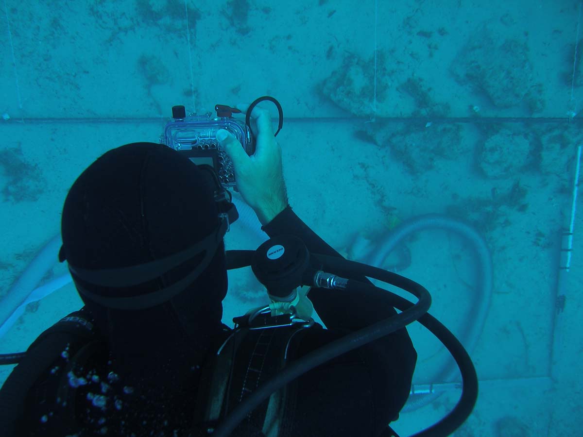
Underwater fieldwork will be carried out as part of the current project of systematic archaeological survey of S.Vito Bay. During the dives the students will participate in the surveying and mapping of archaeological material, setting out an underwater archaeological site and documenting the finds both graphically and photographically. Each session will follow a briefing detailing the dive’s goals and time, as well as the tasks of each underwater operator. A boat specifically equipped for support will also be present at all times.
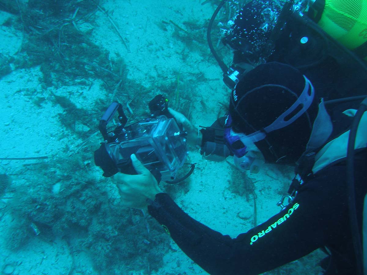
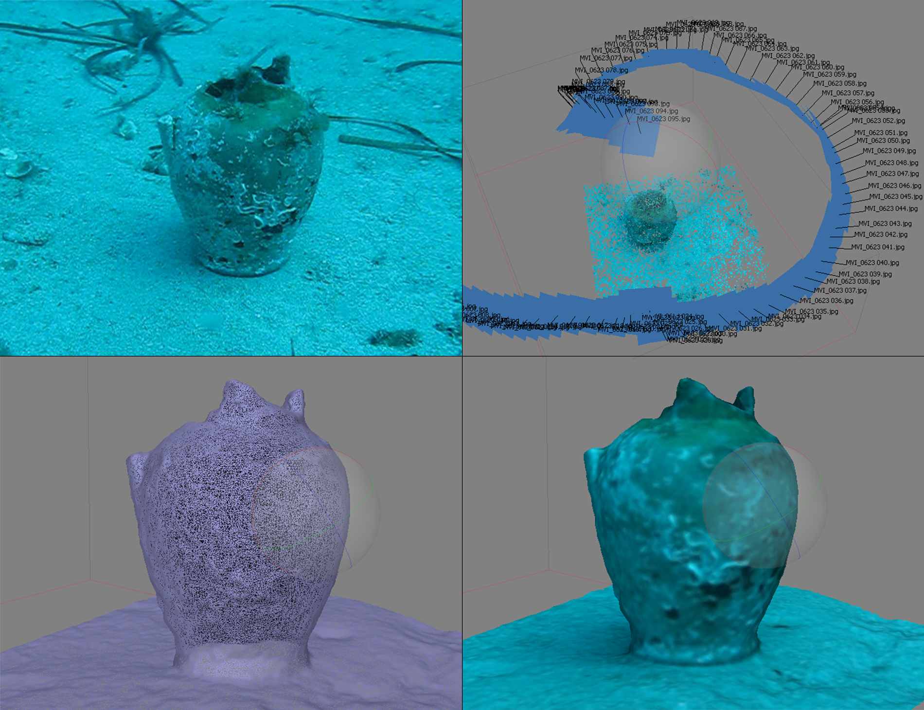
All artefacts detected during the survey activities will be photographed and georeferenced by DGPS, and they will be later recorded in a database. By using photogrammetric methods it will be possible to proceed to the documentation of the finds while leaving them in situ, as well as to the transposition of the most important ones into 3D representations.
DOCUMENTATION AND LABORATORY
At the end of each dive the related data will be recorded in dedicated tables, and all activity will be logged in a journal. The dive’s tracked itinerary and each find’s location will be recorded on CAD, while the most important finds will also be drawn and eventually rendered in 3D numerical models. All the information will eventually be gathered in a report database integrated with the finds’ profiles. The compilation of the latter will be accompanied by additional lectures addressed to the identification of the most representative classes of archaeological materials, as found in the area’s maritime contexts.
At the end of the season’s work the database will be used to create a GIS platform for the spatial elaboration of the data. Finally, the students will also participate in the writing and editing of a preliminary report for the season’s archaeological work.
page translated by Marta Paccani marta.paccani@gmail.com