The San Vito lo Capo Underwater Project
Since 1991, given the high archaeological potential of the site, San Vito lo Capo's bay has been intensively investigated, focusing the attention on the areas with the highest concentration of artifacts, as identified from reports and non-systematic research. These early investigations led to the discovery of wrecks and materials dating from the fourth century BC to the sixteenth century AD.
In light of these important results, the Giano s.n.c. and the Sea Diver s.r.l. companies obtained permission from the Sicilians Sea's Soprintendenza to start in 2013 a new multi-year project in the area. The San Vito lo Capo Underwater Project proposes a systematic survey of the bay's seabed, with the main objective of casting a new light into the vast underwater archaeological heritage with modern techniques and of producing a map of the archaeological potential of the Gulf, by integrating existing data with that of the area not yet investigated. Given the vastness of the area, the project was divided into multiple seasons and surveys will be conducted during underwater archaeology field schools.
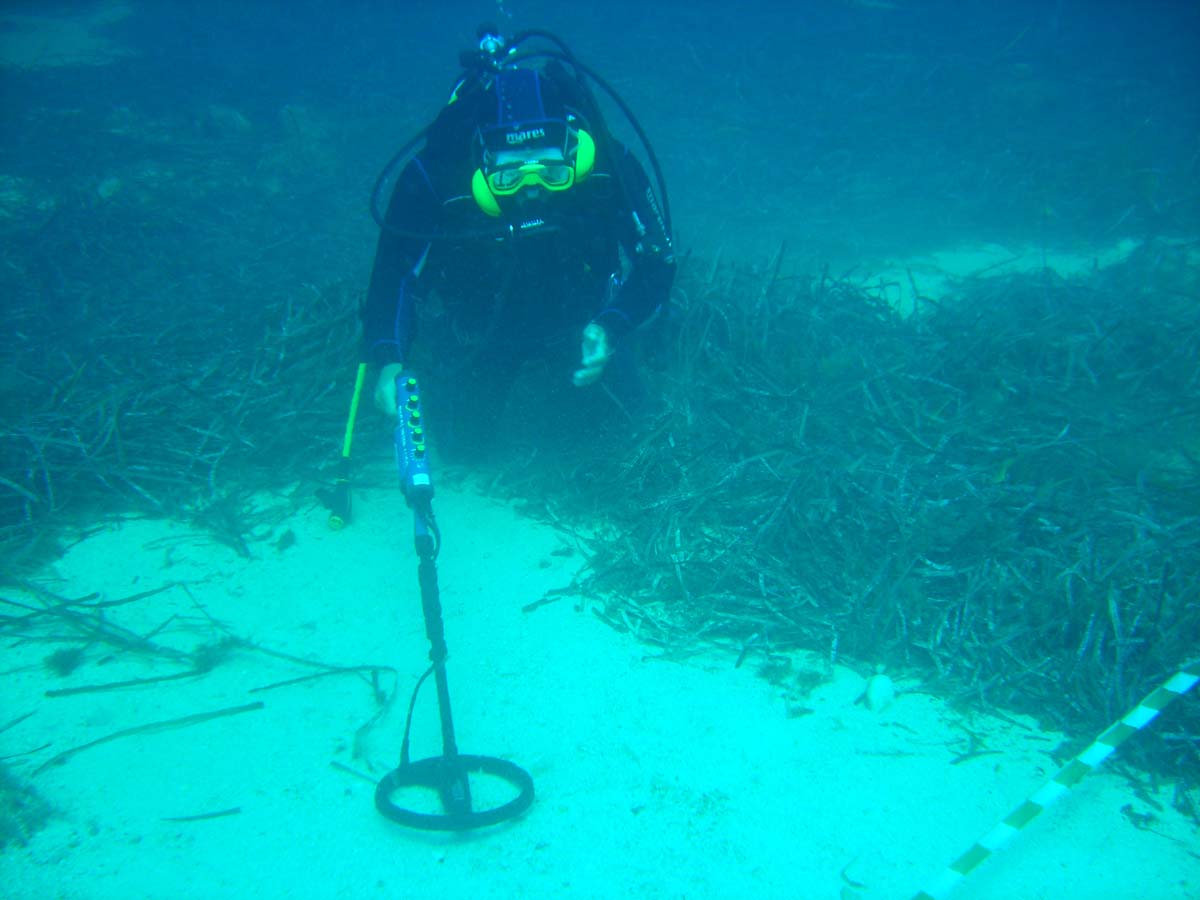
In the preliminary phases of the archaeological investigations, geo-referenced passages were made by means of Side Scan Sonar, in order to obtain a digital model of the seabed to use as the cartographic basis for subsequent surveys.
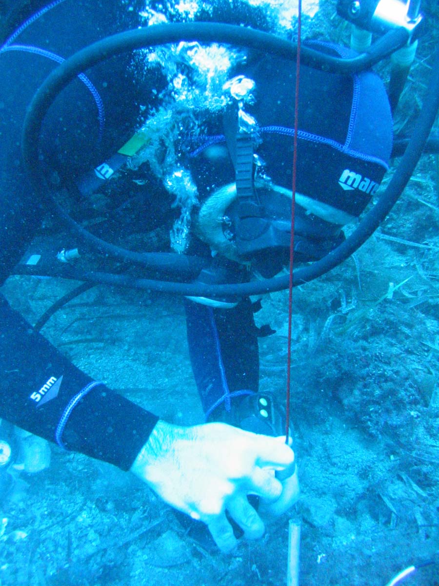
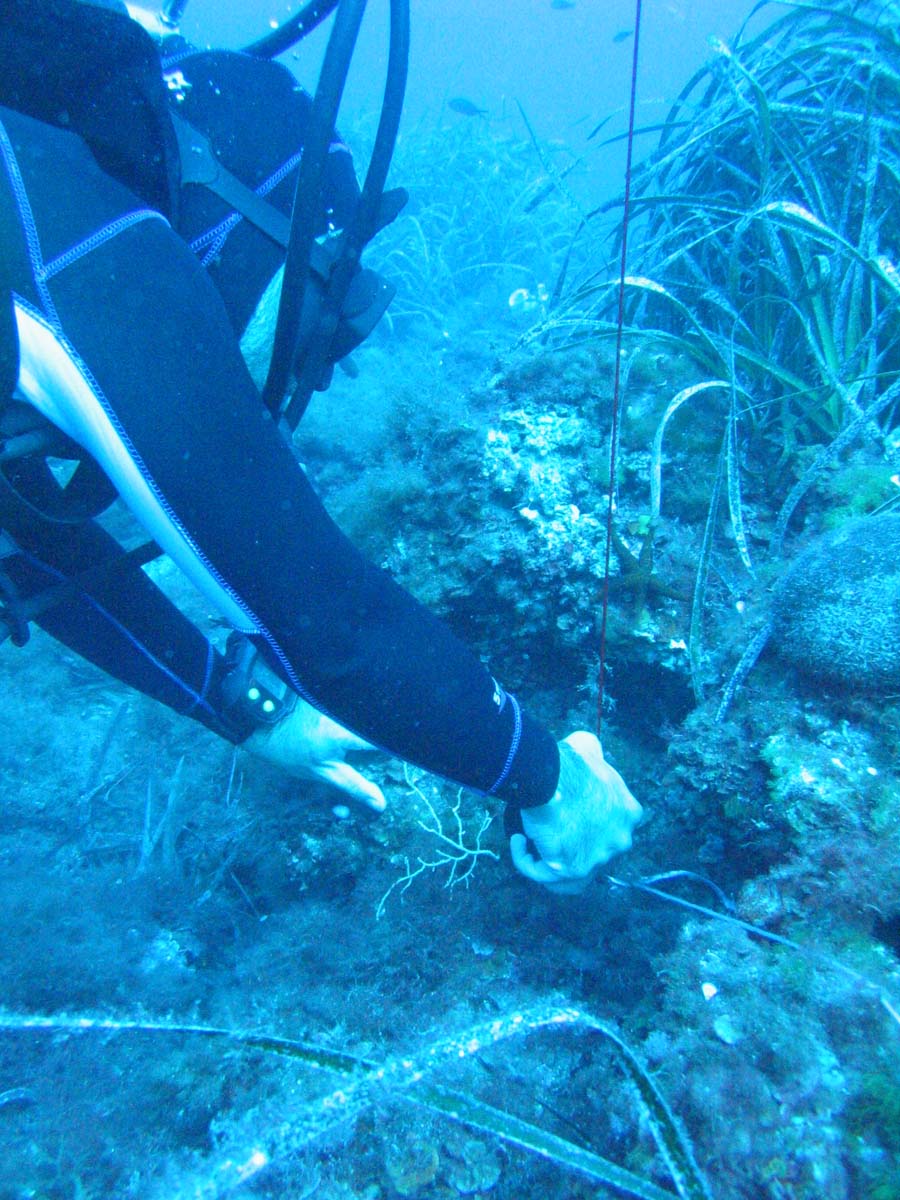
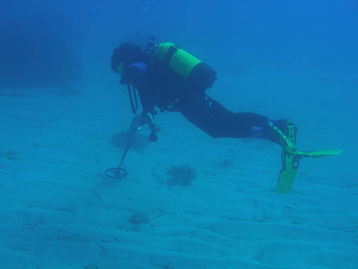
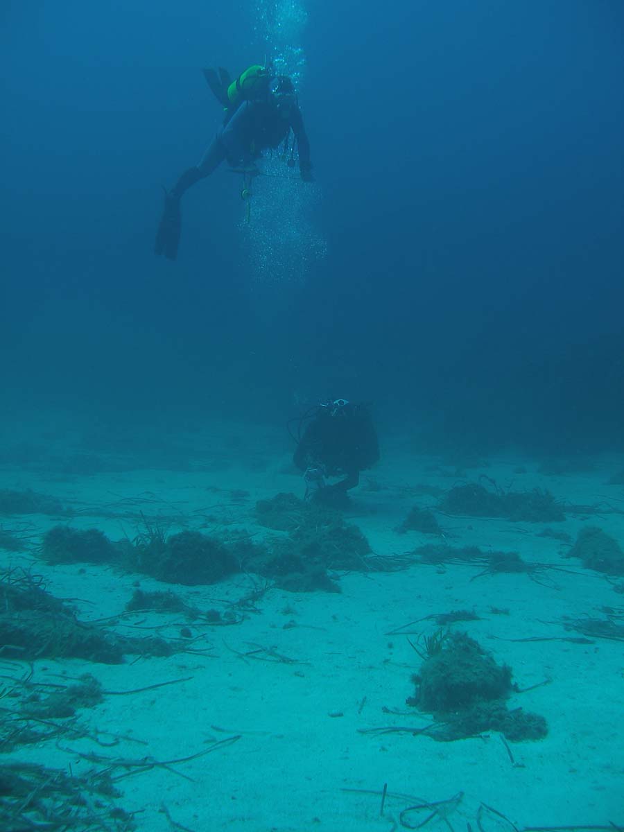
The systematic surveys of the seas area chosen for the each season will be achieved during the field school by the help of the Ru.Na system, an integrated DGPS system for underwater positioning owned by Giano s.n.c. company. During the dives, the system allows the positioning, photographing, drawing and preliminary cataloguing of the archaeological evidence, leaving it in situ, and the precise outlining of the areas already investigated, thus avoiding repeated passages over the same stretch of seabed and highlighting any gaps in the survey grid. Survey sessions with traditional systems of measurement, drawing and documentation of finds in the seabed will also take place.
A database in which archaeological finds will be registered and precatalogued will be compiled and, at the same time, the survey itineraries and the position of notable elements detected by DGPS will be entered into a GIS environment.
page translated by Marta Paccani marta.paccani@gmail.com